How does GPS know where you are without the internet?
You're on a walk, your phone has no signal, and the little dot on the map still moves. How? If the internet has disappeared, who's telling your phone where it is?
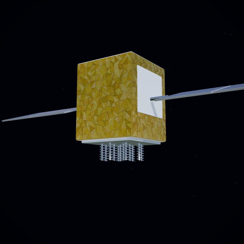
For GPS itself, nobody is watching the dot. Satellites broadcast signals, and your phone listens. The clever part happens in the receiver: it turns tiny differences in arrival time into a position.
The satellites aren't having a conversation with your phone
Imagine several radio stations broadcasting very accurate time announcements. They don't need to know who's listening. GPS works in that one-way fashion: the satellites transmit, and receivers on the ground pick up the signals.
Each satellite's message includes information the receiver can use to work out where that satellite was when it sent the signal. It also provides timing information. Your phone doesn't have to send its location back to the satellite to receive either.
That doesn't mean every app keeps your location private. An app can separately upload it over a network if it has permission and a connection. That's a different process from receiving GPS signals.
A travel time becomes a distance
Radio signals travel at the speed of light. If you know how long a signal has travelled, you can work out how far it has gone. It's the same logic as estimating a storm's distance from the delay between lightning and thunder, except GPS uses radio waves, not sound.
The receiver matches a pattern in the arriving signal with a copy of that pattern it generates itself. Sliding the two patterns into alignment reveals the delay. It's a way of measuring a journey too short for a person with a stopwatch.
The timing has to be extremely precise. A millionth of a second corresponds to about 300 metres of signal travel. That is why a tiny clock error can turn into a very noticeable location error.
Why four satellites, not just one?
One distance tells you surprisingly little. If a friend says they're exactly one kilometre from a landmark, they could be anywhere on a circle around it. In three dimensions, a distance from a satellite puts you somewhere on the surface of an imaginary sphere.
Distances from more satellites narrow down the possible positions. But the receiver has another problem: its inexpensive clock isn't perfectly in step with the satellites' precise clocks. That mistake affects all its measured travel times.
For a normal three-dimensional GPS fix, the receiver needs to find four unknowns: position in three directions and the amount its clock is wrong. At least four satellites provide the measurements needed to solve those together. More satellites can make the estimate more robust, especially when their positions are spread across the sky.
So what does the internet do?
Receiving satellite signals and downloading a street map are separate jobs. GPS can give a receiver coordinates without an internet connection. A map app still needs a map to show streets, paths, and place names around those coordinates.
Downloaded offline maps solve that second problem. Without them, you might have a valid position but a mostly blank map, or missing route information. Whether a particular app can plan a route offline depends on the app and the data you've saved.
Phones also use assisted positioning. Network-provided information can help them find satellites sooner, while nearby Wi-Fi access points and mobile towers provide additional location clues. Losing the network doesn't turn the satellites off, but it can make a fresh fix slower.
Why does the dot sometimes jump to the wrong street?
Satellite signals are weak by the time they reach you. A roof, tunnel, or dense cluster of buildings can block them. Signals can also bounce off buildings and reach the receiver by a longer path, making the measured distance look too large.
The atmosphere adds delays too. Receivers and the wider navigation system model or correct many of these effects, but they can't remove every error in every place. A clear view of the sky usually helps.
Even the satellite clocks need special treatment. Motion and gravity affect how quickly clocks tick, an effect described by relativity. These corrections are built into satellite navigation. Your phone's familiar blue dot depends on both practical radio engineering and physics that once seemed anything but practical.
The idea to take with you
The satellite doesn't find you. Your receiver finds itself by comparing timed broadcasts. The internet helps with maps and faster setup, but it isn't the source of the basic GPS position.
Sources and further reading
These explanations draw on the references below. Analogies help picture the mechanism; they aren't literal descriptions of the hardware.
- ESA Navipedia: GNSS basic observablesSignal travel time, receiver clock errors, atmospheric delays, reflections, and relativity corrections.
- ESA Navipedia: code-based positioningWhy a three-dimensional position and receiver clock offset require at least four satellite measurements.